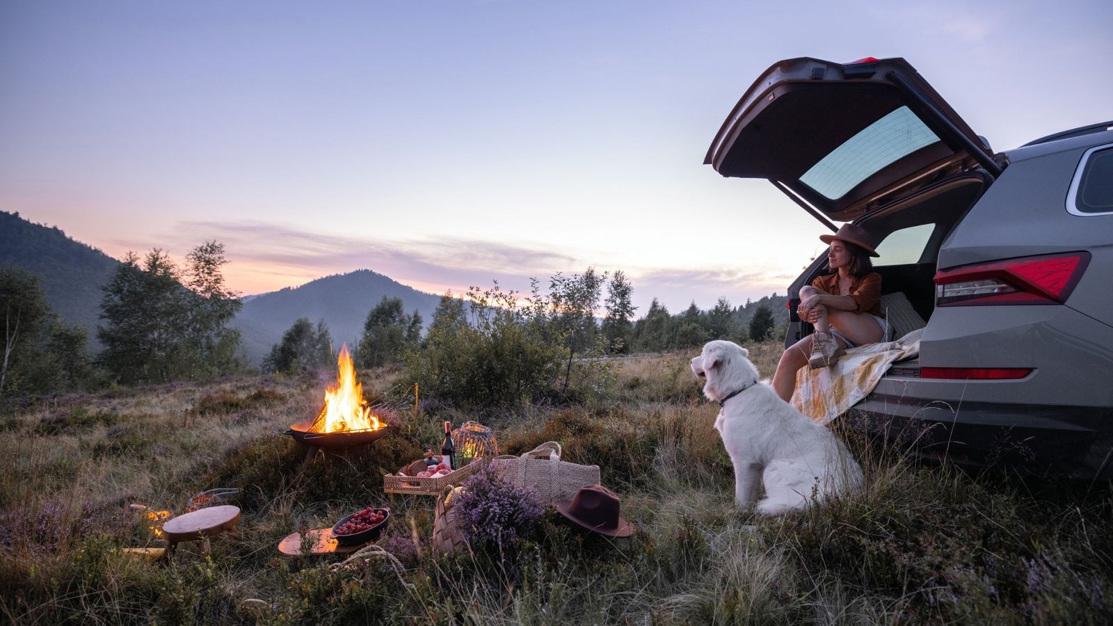
Official Piste Maps from the Pyrenees
To help you plan your ski vacation, we’ve compiled links to official piste maps from the largest ski areas in the Pyrenees. These maps are published by local tourist offices and the ski resorts’ own organizations.Pyrenees Ski Resorts Overview
See all destinations on the interactive map below| Ski Resort | Country | Elevation (m) | Pistes (km) | Description |
|---|---|---|---|---|
| Baqueira-Beret | 🇪🇸 Spain | 1500-2510 | 167 | The pearl of the Pyrenees, favorite of Spanish royal family. Excellent piste preparation and facilities. |
| Grandvalira (Soldeu) | 🇦🇩 Andorra | 1710-2640 | 210 | Andorra’s largest ski area with 6 interconnected sectors. Perfect for intermediate skiers. |
| Grandvalira (Pas de la Casa) | 🇦🇩 Andorra | 2050-2640 | 210 | Highest base in Grandvalira provides most reliable snow. On the French border. |
| Vallnord (Ordino-Arcalís) | 🇦🇩 Andorra | 1940-2625 | 93 | Known for challenging terrain and excellent off-piste opportunities. |
| Vallnord (Pal-Arinsal) | 🇦🇩 Andorra | 1550-2560 | 93 | Family-friendly area with varied terrain and good accessibility. |
| Piau-Engaly | 🇫🇷 France | 1850-2600 | 86 | One of the highest resorts with north-facing slopes that hold snow well. |
| Saint-Lary-Soulan | 🇫🇷 France | 1700-2515 | 100 | Classic French mountain village with good skiing and authentic atmosphere. |
| Cauterets | 🇫🇷 France | 1730-2415 | 36 | Charming spa town with traditional atmosphere and French mountain culture. |
| Font-Romeu | 🇫🇷 France | 1800-2213 | 43 | Mild climate and plenty of sunshine. Perfect for families and beginners. |
| Les Angles | 🇫🇷 France | 1650-2400 | 55 | Budget-friendly destination with good beginner slopes and great value. |
| Formigal | 🇪🇸 Spain | 1500-2250 | 137 | Part of Formigal-Panticosa, Spain’s largest ski area. Modern lift system. |
| Candanchú | 🇪🇸 Spain | 1530-2400 | 50 | Spain’s oldest ski resort. Authentic and traditional atmosphere. |
Andorra – Grandvalira & Vallnord
Grandvalira (210 km of pistes)
Official piste map from Grandvalira: Download Grandvalira piste map (PDF)Grandvalira consists of 6 interconnected sectors: Soldeu, El Tarter, Canillo, Encamp, Pas de la Casa, and Grau Roig. The map shows all pistes, lifts, and facilities.Source: Grandvalira Official ResortVallnord – Pal-Arinsal & Ordino-Arcalís (93 km of pistes)
Official piste map from Vallnord: View Vallnord piste map onlineVallnord includes two primary areas: Pal-Arinsal (family-friendly) and Ordino-Arcalís (known for off-piste and challenging terrain).Source: Vallnord Official ResortSpain – Baqueira-Beret
Baqueira-Beret (167 km of pistes)
Official piste map from Baqueira-Beret: Download Baqueira-Beret piste map (PDF)The pearl of the Pyrenees with three main areas: Baqueira, Beret, and Bonaigua. The map shows all pistes graded by difficulty, lifts, restaurants, and service facilities.Source: Baqueira Beret Official ResortFrance – French Pyrenees
Piau-Engaly (86 km of pistes)
Official piste map from Piau-Engaly: Download Piau-Engaly piste map (PDF)One of the highest resorts in the Pyrenees (1850-2600m) with north-facing slopes that ensure good snow preservation.Source: Piau-Engaly Official ResortSaint-Lary-Soulan (100 km of pistes)
Official piste map from Saint-Lary: View Saint-Lary piste map onlineClassic French mountain destination with three interconnected areas and authentic atmosphere.Source: Saint-Lary Soulan Official ResortFont-Romeu (43 km of pistes)
Official piste map from Font-Romeu: View Font-Romeu piste map onlineFamily-friendly area close to the Mediterranean with mild climate and plenty of sunshine.Source: Font-Romeu Pyrénées 2000 Official ResortPractical tip: Download the relevant piste maps before departure so you can plan your ski days in advance. Most resorts also have apps with live updates on piste status and weather conditions.
🎬 Watch the films — 365 ways to travel the world Watch →
The Leisure Family
Eight sites, one family — travel, wine, sport and sharper thinking. Explore the rest of the universe.
Rejser · DK
Traveltalk.dk
Rejser med dybde — for den nysgerrige rejsende.
Travel · Intl
Traveltalk.travel
Travel with depth, the world over.
Inspiration
Vacation-Talk
Travel inspiration, destinations & ideas.
Vin
Winetalk.dk
Vin som hverdagens luksus.
Sport
WorldSportTalk
Global sport, up close.
Ideas · AI
Think Smarter
Clearer thinking — and AI in particular.
The Group
Leisuretalk
The whole family, in one place.
For business
Gadvisory
Is your business AI-ready? Take the test.